
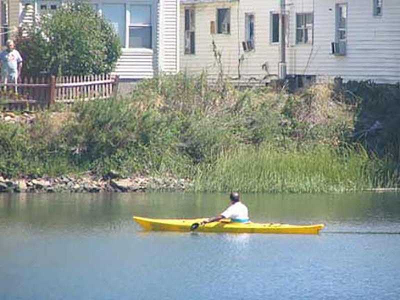
Resembling Silver Beach along the southern edge of Throgs Neck, the Bronx community of Harding Park features inlets, reeds, small houses and bungalows clustered along the confluence of the East and Bronx Rivers. Its topography is shaped by Pugsley’s and Westchester Creeks.
A little specification: the small abutment of the Bronx defined by the Bronx River (and Soundview Park which stretches alongside it) Pugsley’s Creek and the East River is known as Clason (pronounced Clawson) Point, named for an 18th-century merchant named Isaac Clason who purchased what was previously known as Cornell’s Neck in 1793; the land stayed in the family until the family sold it in 1855. Harding Park is the maze of little unnamed streets and bungalows found along Bronx River, Leland, Gildersleeve and Cornell Aves. in the southwest sector of Clason Point. Like Silver Beach and Edgewater Park, it seems independent from the rest of the Bronx, since its street pattern is different and it’s cut off by water from the rest of the borough. It’s very odd.

Pugsley’s Creek and Pugsley Ave., incidentally, have no direct connection with Charles Addams and the Addams Family comics franchise or TV show, or the heir to the family fortune played by the late Ken Weatherwax. This was a Talman Pugsley, who owned land here in the late-1700s.

The NYC skyline can be seen dramatically from Harding Park. A hypothetical resident of the planet Pluto, observing the bright dot in what must be a perpetually pitch-black Plutonian sky, would have no idea, unless his race had mastered astronomy, that the especially bright dot was in fact the sun around which his planet orbited; similarly, if you were kidnapped, blindfolded and stuffed in a car trunk and dumped in Harding Park, would you have any idea that these distant towers were in the same town as the one where you stand?
The region’s first residents were the Siwanoy Indians, who spoke Algonquin. Europeans began settling the region in the early-1600s, and the Cornell family built the first permanent European settlement in the spit of land first known as Snakipins by the Indians, then Cornells Neck and later Clason Point. In the 1640s a series of skirmishes between the Cornells and the Siwanoy, known as the Pig Wars, were led by Wampage, the Siwanoy sachem believed to be the Indian leader who killed Anne Hutchinson and her children in 1643 at Split Rock in the northern Bronx. This act was done, some historians believe, in retaliation for New Netherland governor Willem Kieft’s February massacres of refugee Weekwaeskeek at Corlaer’s Hook and Pavonia in today’s New Jersey. A passing ship rescued the Cornells, and they persisted, returning to their adopted Bronx home the year after Wampage’s last raid. Britisher Thomas Pell arrived at a treaty in 1654 with several Siwanoy sachems, including Wampage, that the Dutch authorities didn’t recognize. This disagreement was rendered moot in 1664 when the British fleet appeared in the harbor and the Dutch capitulated. Pell granted his name to the place name Pelham, which is found all over Westchester and eastern Bronx, which was once part of Westchester until it joined the remainder of New York County, which included everything west of the Bronx River, in the 1890s.

Though this photo was taken just a few years ago, the King of All Buildings has been joined by a set of “supertall” needle towers that despoil its regal bearing. Manhattan appears as a far-off promise to the fishers working the East River. In the foreground we see the South Bronx Marine Transfer Station, a facility once used by the Department of Sanitation to offload collection trucks into barges for transfer to Fresh Kills. The domed structure to the right is a salt storage dome.
By the mid-1800s, as noted, the area was called Clason Point. Families such as the Lynches, Ludlows, Schieffelins, and Lelands, some of which are still seen on street signs, all built farmhouses in the area, though its swampy, waterlogged nature made it a non-starter for commerce. (Even today the main shopping area is at a fairly distant remove, along Story Ave., the Bruckner Expressway and White Plains Road.) Its seaside location and terrific views as shown here made it a logical locale for seaside resorts, dancehalls and amusement parks, of which plenty were constructed in the early-20th century with an accompanying ferry from College Point, Queens.

By 1900 the Higgs family maintained a beach and amusement area on the western end of Clason Point, and in the early-1920s Thomas Higgs, who owned about 100 acres of beachfront property, began leasing tents to visitors and the area formalized its own street layout and summer bungalow colony. They named the colony for the U.S. President at the time, Warren Harding. After World War II these became permanent year-round residences due to a housing shortage, eventually sheltering over 250 families.
Though Robert Moses attempted to tear down what he called the “Soundview Slums” (Moses didn’t like anything that wasn’t a Corbusian-esque housing project or an expressway; his Utopia would’ve been a city composed of residential skyscrapers connected by superhighways), Harding Park survived, but became City property in 1979. Three years later, in 1982, Harding Park Homeowners Association, the first cooperatively-owned low- and moderate-income community in the city was formed. Harding Park now appears as if it’ll carry on in the future indefinitely with its city views, great fishing, and relative privacy.

White Plains R., which eventually gains an el and becomes the main shopping drag in Bronxdale, Williamsbridge and Wakefield, begins here in Clason Point. It doesn’t go to White Plains. Once the road enters Mount Vernon, it becomes South 1st Ave. If a motorist wishes, he or she can follow a network of connecting roads that eventually get to Westchester County’s growing city named either for white balsa wood found in the area or the mist that sometimes coated the valley settlement.
—Kevin Walsh is the webmaster of the award-winning website Forgotten NY, and the author of the books Forgotten New York (HarperCollins, 2006) and also, with the Greater Astoria Historical Society, Forgotten Queens (Arcadia, 2013)